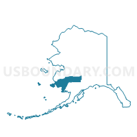
Mekoryuk Precinct, Bethel Census Area, Alaska
About
Outline

Summary
| Unique Area Identifier | 523287 |
| Name | Mekoryuk Precinct |
| County | Bethel Census Area |
| State | Alaska |
| Area (square miles) | 3,081.44 |
| Land Area (square miles) | 1,744.08 |
| Water Area (square miles) | 1,337.36 |
| % of Land Area | 56.60 |
| % of Water Area | 43.40 |
| Latitude of the Internal Point | 60.09726720 |
| Longtitude of the Internal Point | -166.39038920 |
Maps


Graphs
Select a template below for downloading or customizing gragh for Mekoryuk Precinct, Bethel Census Area, Alaska